Tracing the Pine Rivers Through the Landscape
On a cool morning in the D’Aguilar Range, the air smells of damp leaf litter and eucalyptus. There’s no grand sign announcing what begins here, no dramatic plunge over rock. Instead, the beginnings of the North and South Pine Rivers arrive quietly — small trickles gathering beneath towering gums, slipping downhill through ferny gullies before becoming something the region depends on every day.
These headwaters, tucked into forested country north-west of Brisbane, are easy to overlook. Yet they sit at the heart of the Pine River catchment, a water system that links hinterland to suburb and, via major storages like Lake Samsonvale, supports South East Queensland’s drinking-water network before eventually reaching Moreton Bay.
One Catchment, Many Connections
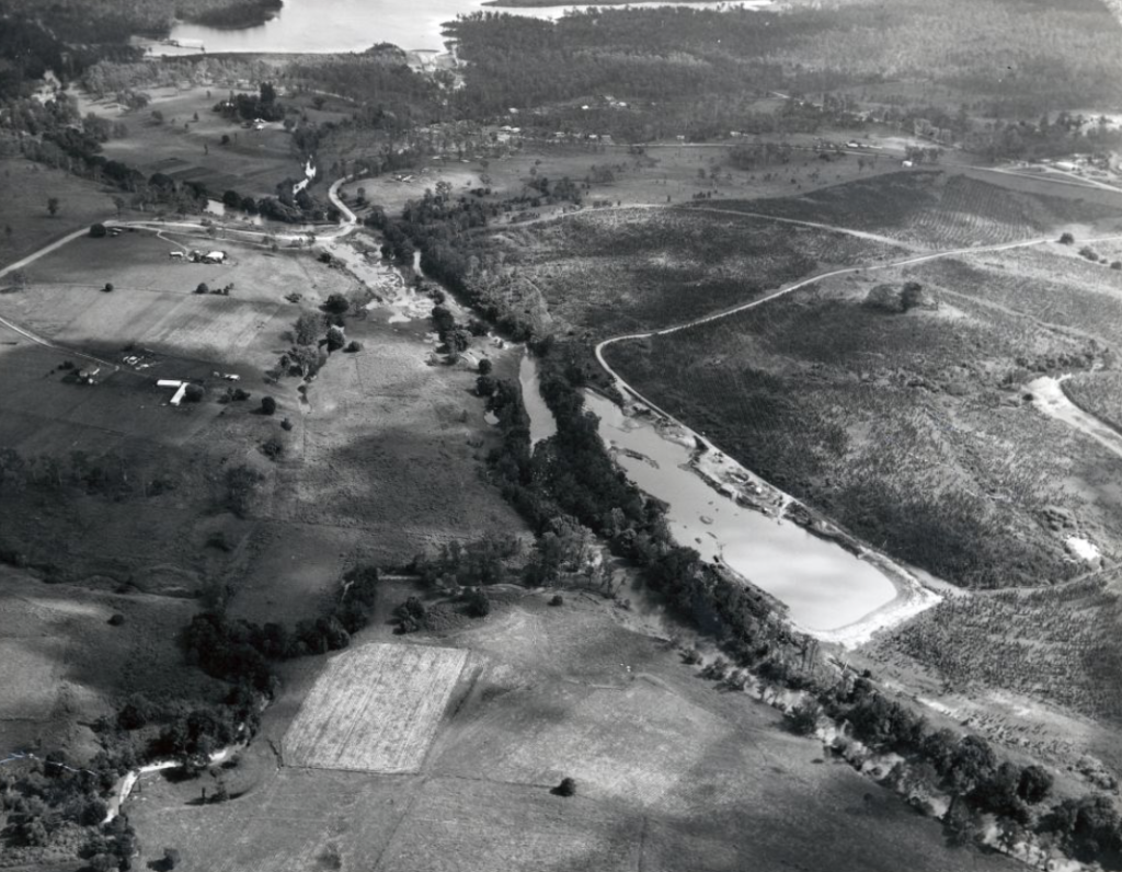
The Pine River catchment is shaped by two main waterways. The North Pine River rises on the eastern slopes of the D’Aguilar Range, flowing through bushland and rural pockets before widening into Lake Samsonvale. The South Pine River also rises in the D’Aguilar Range, near Mount Glorious, then travels through the Samford Valley and outer northern suburbs.
Two Rivers, One Meeting Point
The two waterways meet at Lawnton, forming the Pine River proper — a river closely tied to the area’s history and everyday life. Long before suburbs followed their banks, these rivers carved paths through Country, sustaining ecosystems that evolved alongside seasonal flows and floods.
Today, they still perform that role, but within a far more complex landscape.
From Forest Creeks to Managed Water
In the D’Aguilar Range, where the rivers rise, walkers can encounter these beginnings at creek scale. Narrow channels cross tracks without ceremony, easy to step over and even easier to dismiss. It can be hard to recognise the “river” at this stage — more promise than presence — until you follow its path on a map and see where it leads.
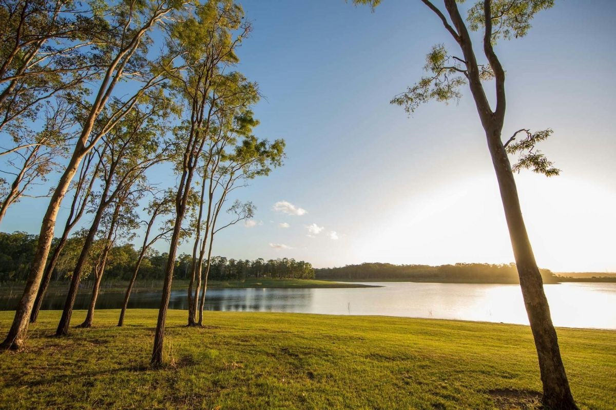
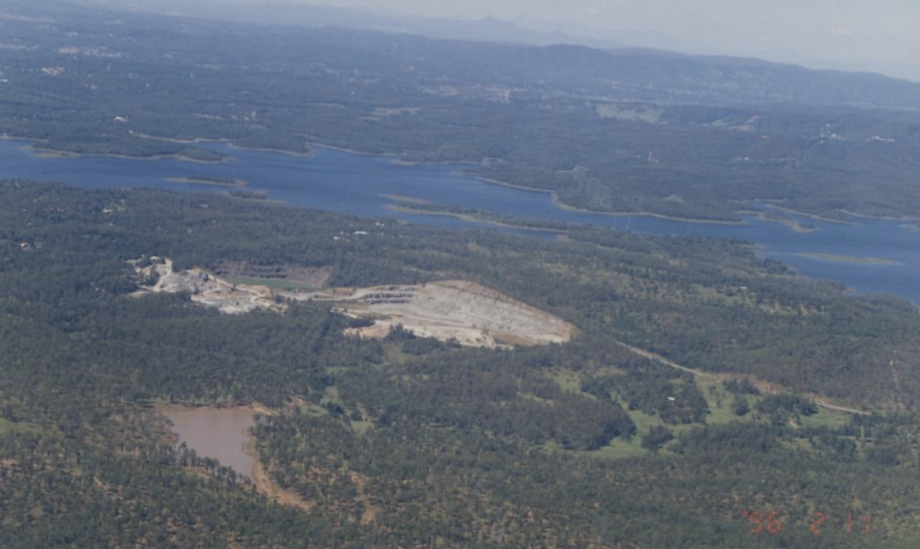
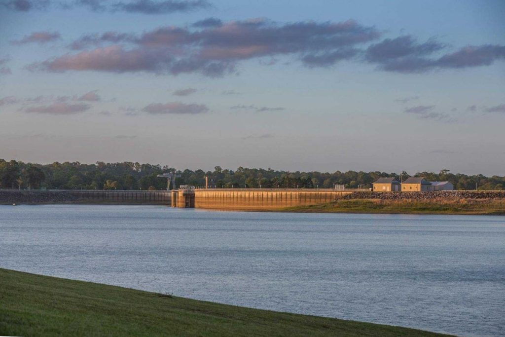
That promise becomes tangible at Lake Samsonvale, also known as North Pine Dam. Managed by Seqwater, the dam stores drinking water for north Brisbane and Moreton Bay and is a key part of the South East Queensland Water Grid. Completed in 1976, the dam transformed the upper North Pine River into a reservoir — a clear reminder that water in this region is both natural and carefully managed.
Seqwater’s public materials often emphasise the idea of water’s journey from source to store to supply. Rain falling on forested slopes flows into creeks, streams and rivers that feed the dam, before being treated and delivered to homes and businesses across the region.
The condition of those upper catchment areas matters. Vegetation cover, erosion control and land use all influence water quality long before it reaches a tap.
Following the Rivers Through Suburbia
Below the dam wall, the North Pine River resumes its journey toward the coast. In its lower reaches, tidal influence extends upstream, with the river responding to both rainfall and the pull of the sea. As it approaches Bramble Bay, the Pine River becomes part of a broader estuarine environment, where tidal wetlands support marine life and help buffer the coastline.
The South Pine River follows a different but equally familiar course. Flowing through established suburbs, it passes parks, pathways and back fences — a waterway woven into daily routines. Residents cross it on bridges, walk beside it in the afternoons and watch it swell after heavy rain, often without thinking about where it began.
Water, Memory and Change
For long-term locals, memories of the rivers are closely tied to change. Stories of informal swimming spots and fishing holes sit alongside newer experiences of shared paths, organised recreation and carefully managed foreshores.
Flooding, too, remains part of the catchment’s story, a reminder that water still moves on its own terms despite layers of planning and infrastructure.
Recreation on the Water
Recreation has followed the rivers’ evolution. At Lake Kurwongbah, formed by damming Sideling Creek — a tributary of the North Pine — rowing shells glide across calm water as the day begins. Kayakers, anglers and walkers all find their own connections to the system, each experience shaped by the same upstream sources.
From the Ranges to the Bay
What makes the Pine Rivers’ story distinctive is not just where the water goes, but how clearly its connections can be traced. From rainforest gullies to suburban bridges, from dam infrastructure to tidal flats, the catchment reveals itself as a linked system rather than a series of separate places.
WetlandInfo’s catchment maps describe this network in detail, showing how creeks, rivers and wetlands interact with land use, climate and topography. Standing beside a headwater stream, that complexity becomes something simpler: water moving downhill, gathering purpose as it goes.
As Moreton Bay continues to grow, these quiet beginnings take on new significance. Protecting headwaters, managing dams and planning urban waterways are no longer separate conversations. They are part of the same story — one that starts in the D’Aguilar Range and continues into Bramble Bay.
The next time rain falls on those forested slopes, the journey will begin again. Slip by slip, creek by creek, the Pine Rivers will carry it forward, reminding the region that even its most everyday resources have an origin worth noticing.

Feature Image Credit: VisitMoretonBay