
Before There Were Suburbs, There Were Runways: The Pine Rivers Story Locals Often Miss
It’s not widely known, but parts of today’s Pine Rivers once helped move a war. During the Second World War, open land around places like Strathpine and Brendale was used as airfields and staging areas by Allied forces. At a time when fewer than 5,000 civilians lived across the region, an estimated 50,000 servicemen passed through. Long before shopping centres and school zones, this was a place of transit, logistics and movement.
That legacy still lingers, even if quietly. Pine Rivers has never really been about fixed centres or sharp boundaries. It has always been shaped by how people move through it, and by the water that connects it all.
A place named by its rivers
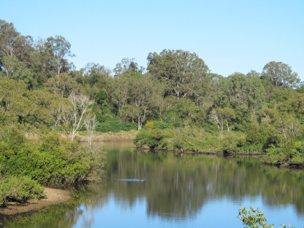
The former Shire of Pine Rivers took its name from three waterways: the Pine River and its two tributaries, the North Pine and South Pine rivers. Together, they shaped settlement patterns long before suburb names took hold. These rivers don’t carve the area into neat sections. They weave through it, softening the edges between places that might otherwise feel separate.
Today, their banks are part of everyday life. Morning walks, bike rides, quiet fishing spots and shaded picnic areas sit alongside paths that link suburbs without ceremony. Dog walkers greet each other by first name. Children learn to ride along shared trails. Neighbours pause, briefly, to watch light move across the water. The rivers don’t divide Pine Rivers. They quietly hold it together.
From mail routes to daily routines
European settlement arrived in the mid-19th century, driven by farming and transport. Petrie began not as a destination, but as a service point. In 1868, it was established to support mail coaches travelling between Brisbane and Gympie. That role as a connector never really left.
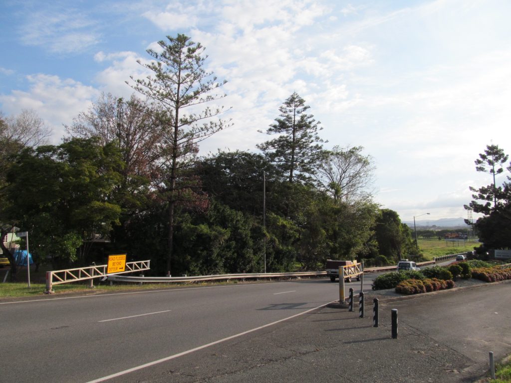
When the railway arrived in 1888, tying the area more firmly to Brisbane, Pine Rivers became a place people passed through on the way to somewhere else. A later rail line to Dayboro pushed west in 1920, threading into the foothills of the D’Aguilar Range. It closed in 1955 due to low use, another reminder that Pine Rivers has always expanded and contracted around movement rather than permanence.
That pattern continues now. A morning commute might start in Kallangur, pass through Petrie and finish in Strathpine. School drop-offs, sport and shopping routinely pull residents across postcode lines without a second thought. Identity here is less about where you live, and more about how you move.
WWII Airfields
During WWII, the Pine Rivers area was the location for several key airstrips. Strathpine A1 and A2 airstrips, near Lawnton and Strathpine, were created to support Allied movements with RAAF and RAF units, signals, and heavy bomber activities.
Along with A3 in Petrie, they formed the main airbases for the Brisbane area.
Camp Strathpine was a large military camp that extended from near Dakabin Station down to the South Pine River, with specific unit areas in Joyner, Lawnton, Petrie, and Murrumba Downs. The US 1st Cavalry Division were based there from mid-1943 to early 1944. After they left the 7th Division, the 2nd Australian Imperial Force (2nd AIF) used the base.
A region built wide, not dense
At its height, the Shire of Pine Rivers covered 771 square kilometres. Yet most of the population clustered in the east and south-east. By 2006, the western portion made up three-quarters of the land area but housed a small fraction of residents. Strathpine functioned as a practical centre rather than a showpiece, while Petrie, Kallangur, Albany Creek and the Hills District grew steadily alongside it. North Lakes, now firmly established, began as the newest edge of that growth.
Water again sat at the centre. Lake Samsonvale and Lake Kurwongbah became defining features, while Hays Inlet and Saltwater Creek marked the eastern boundary near Redcliffe. These shared spaces never belonged to one suburb. They belonged to the region.
Community without ceremony
Life in Pine Rivers tends to gather quietly. Weekend markets, junior sport, school events and park catch-ups create connection without fanfare. Community halls, cafés and green spaces act as informal anchors where familiar faces reappear over time.
Places like the Murrumba Homestead Grounds hold the past and present together, serving as reminders of earlier settlement while continuing to host events that bring people together now. Lake Kurwongbah draws walkers, anglers and families from across the catchment. Pine Rivers Park shifts easily from quiet picnics to large community gatherings.
Growing together
Like many parts of Moreton Bay, Pine Rivers continues to grow. With that growth comes change, from new housing to increased demand on infrastructure and the natural environment. Yet the catchment’s strength lies in its interconnectedness.
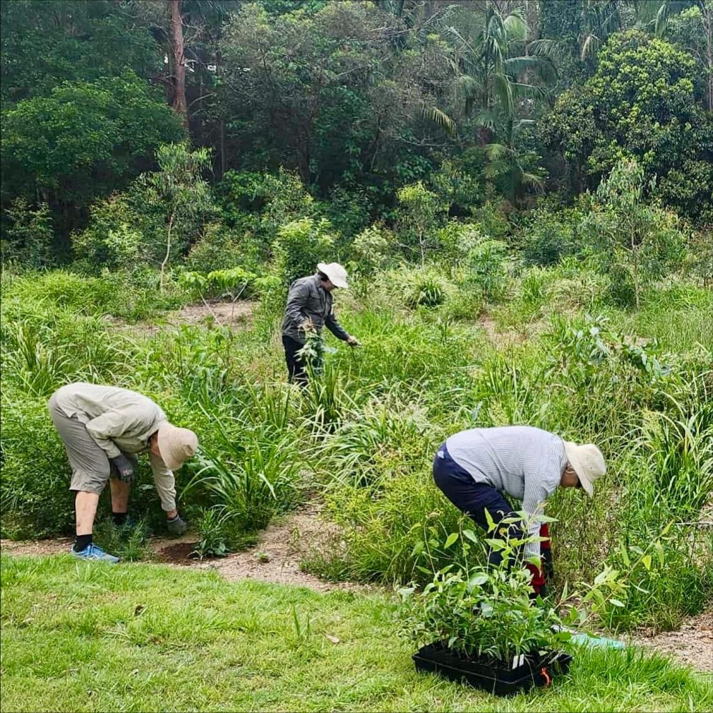
Environmental care groups, sporting clubs and community organisations frequently work across suburb lines, recognising that the health of the rivers and shared spaces affects everyone. Challenges are met collectively, reinforcing the idea that Pine Rivers functions best when its communities move forward together.
A network, not a map
In 2008, Pine Rivers ceased to exist as a standalone shire, amalgamating with neighbouring councils to form what is now the City of Moreton Bay. On paper, the name changed. In practice, the way Pine Rivers functioned stayed much the same.
This has always been a place defined less by borders than by flow. By rivers rather than ridgelines. By repeated crossings and overlapping routines. Whether moving through parks, train stations or shared waterways, Pine Rivers continues to operate as it always has: a network held together by water, movement and the quiet accumulation of everyday interactions.
It’s not about a single suburb claiming these places. They are shared, and that shared use shapes how Pine Rivers feels. It’s also not announced by landmarks or skylines. It’s felt in familiarity. And once you notice it, it’s hard to see Pine Rivers any other way.

Feature Image Credit: Wikimedia Commons/Creative Commons CC0 1.0 Universal Public Domain Dedication